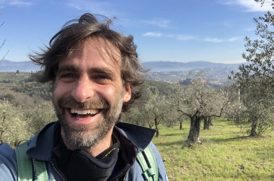
Ideas for Hiking in Florence.
Take the best from your red zone in your Comune.
This Time adventure starts in the Comune of Florence.
Unfortunately the times we are living are hard and only one thing is still free in this world Nature.
So let’s enjoy nature till we can and from our Comune, Florence you can enjoy lots of hikes.
This time Hiking in Florence adventures will take you along the Renaissance ring and the Via Romea del Chianti.
https://www.komoot.com/tour/330794568
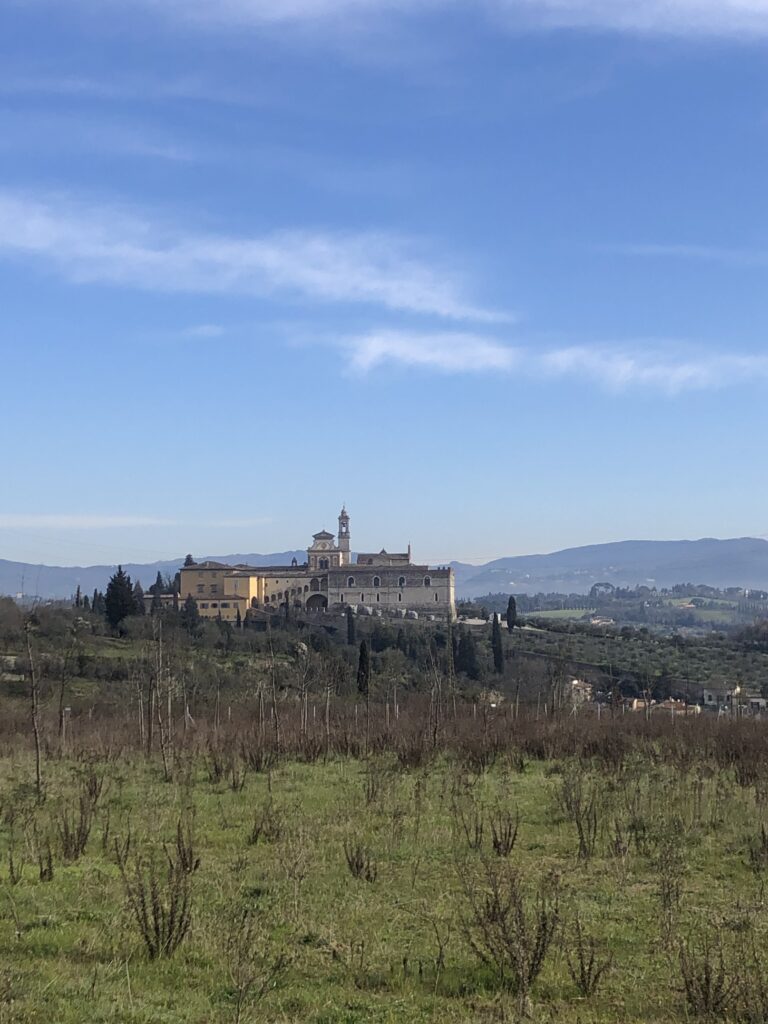
Hiking from Florence along ancient paths
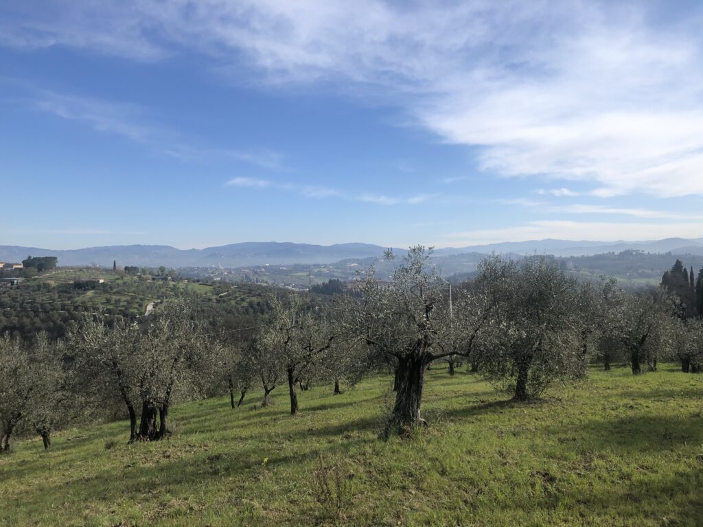
This adventure of Hiking from Florence begins from one of the most iconic symbols of FLorence, La certosa del Galluzzo.
La Certosa del Galluzzo, here you can find few notes about this incredible and unique building that you must visit once in Florence:
This place is out of this planet, huge and gorgeous, please take your time to visit something really Out of the box Florence (http://www.outoftheboxflorence.com) when you come to Florence.
You can park your car inside the monastery parking lot and from here the old path is blocked for work. I broke through but it is dangerous, better to walk down the main road and walk towards the highway directions. From the bus stop on your right you have the path that turns right into a little neighborhood and from there you have the Cai Signs Red and white.
https://goo.gl/maps/adJjobfBpxP7jULF8
In this walk it is impossible to get lost. It’s really nicely marked and there are plenty of possible deviations or alternative routes.
The Ancient Paths
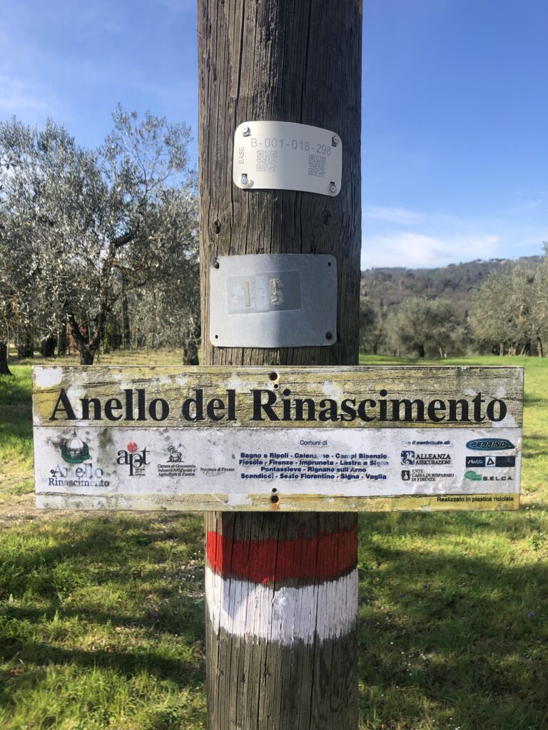
The Path at the beginning is the real Via Romea del Chianti, the ancient road that was connecting Florence to Siena through the Chianti Classico.
This path is about a 4 days walk. Here you find the GPS track for it.
VIA ROMEA DEL CHIANTI – COMUNITA’ TOSCANA IL PELLEGRINO
Here you have more details.
We take this path at the beginning then it divides in 2 after 3/4km Via Romea del Chianti goes straight towards Siena , instead we continue towards the right along Anello del Rinascimento that in theory is leading us to Lastra a Signa, passing by Scandicci. For a while the 2 paths are identical though.
The Renaissance ring infos and extras:
Intorno a Firenze, l’Anello del Rinascimento
https://it.wikipedia.org/wiki/Anello_del_Rinascimento
L’Anello del Rinascimento: da Calenzano a Vaglia
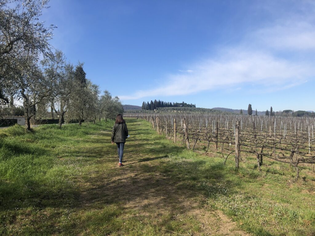
So this hike apart from the beautiful landscapes you pass by, it’s also very important historically. If you have some fantasy, definitely you can imagine Etruscans walking and chatting like you will be doing :):):)
These paths are crossing couple of times the ancient Via Volterrana, Volterrana: l’antica via del sale è una delle strade più belle della Toscana, Travel along the Via Volterrana.
So which road you take, you never do it wrong but avoid walking on Via Volterrana for too long, there are too many fast cars on it and it could be dangerous.
The Hike
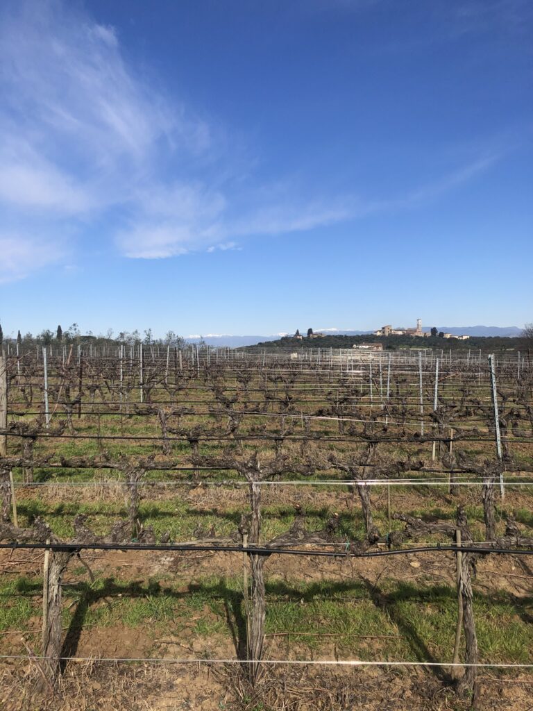
At the beginning the hike is along tarmac roads, narrow and not cars but still keep an eye on it cause 1 or 2 cars will pass. It’s steep at the beginning, not difficult at all but you will put 100 m of elevation gained at the beginning. Beautiful sceneries all along and don’t forget to look backward once in a while so you can spot the Duomo of Florence from every corner. Pictures won’t give justice to the view, keep your eyes peeled.
Vineyards, villas and olive groves will be with you at the beginning and at the end of your walk.
Then the second part when the 2 ancient paths split, it’s through the woods. You will reach the highest elevation of 340 mt of the entire hike. Not that much :):):) The best part here is the lake on your left going up and the lake of San zanobi going down with its chapel.
If you don’t know San Zanobi have read here. He is one of the most important figures of Florence;
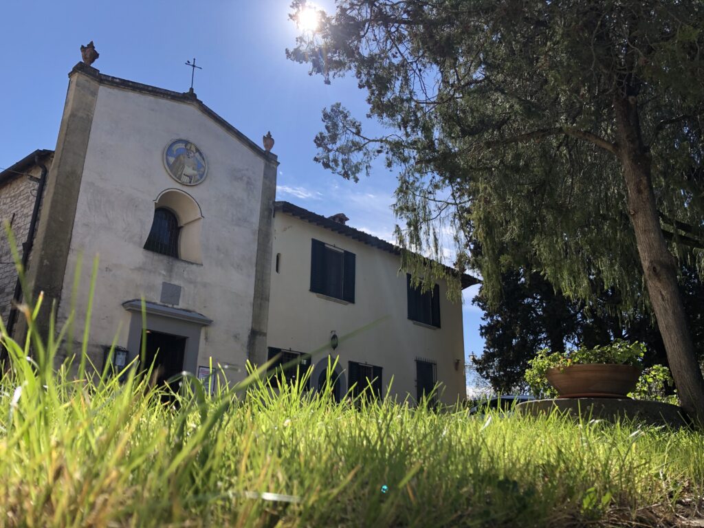
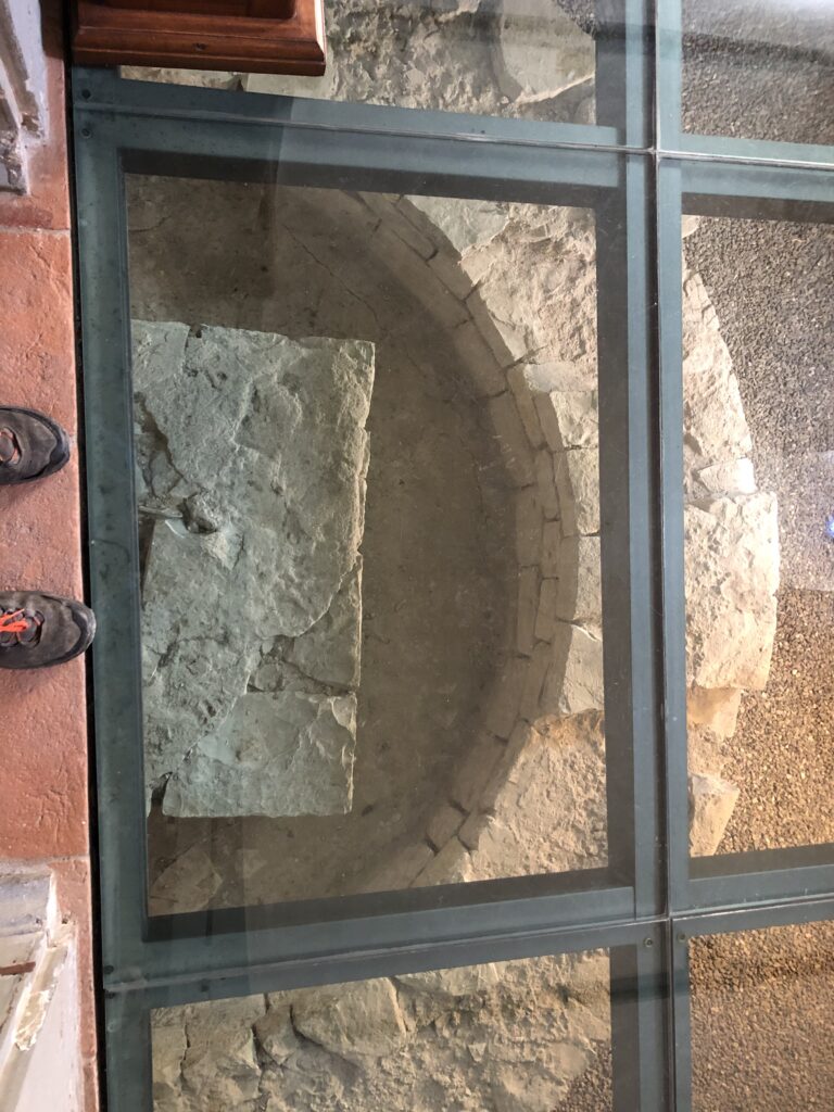
He was born in this area so you can find a couple of interesting things. The first one the little chapel in his honour in the woods and the second one going down towards Casignano after the villa on your right you have a little church. The church itself is not important but please go inside and you will see the foundations of the previous pagan temple from the 300 After Christ, totally worth it.
https://it.wikipedia.org/wiki/Chiesa_di_San_Zanobi_a_Casignano
The final strech
The hike from Casignano towards the church of Saint Alessandro in Giogoli is lovely, olive groves and rolling hills so 1 major down and 1 major up.
This part is not signed and you need to find your way but any gps phone will help you. Oriented yourself and you will see paths to walk on it, to head to Giogoli.
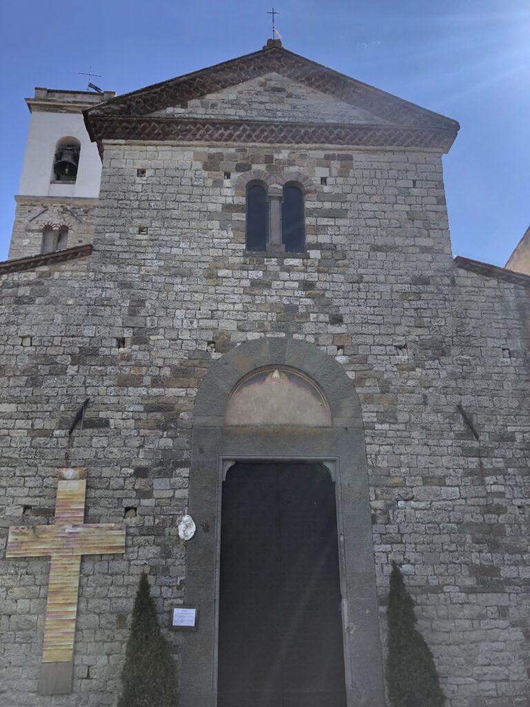
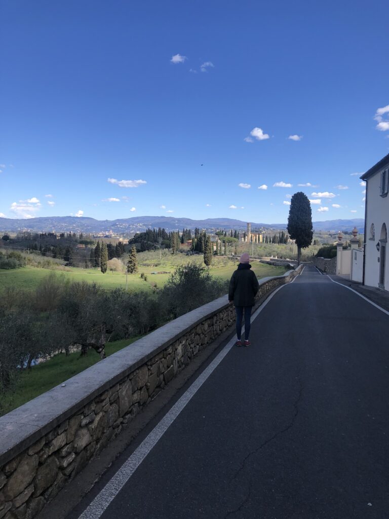
The final stretch is from the Church of Giogoli you head back to La Certosa. You can go back the same way up or you can do like I did taking a parallel tarmac road that goes back to La Certosa di Firenze as well but It’s not signed. Beautiful villas and Monasteries all along and really impossible to get lost. Just continue along the way down and don’t take turns. You will find yourself at La certosa.
I spent 4 hours roughly walking and exploring for a pretty much easy hike from morning till lunch and finally 670 D+ and 17 km.
Contact Me
Ask for Stefano 🙂
I would love to guide you.


